Professional Relocation & Logistics Services in Shikaripara, Dumka
Shikaripara is one of Eastern India's most prominent industrial mining and transit hubs. Situated in southern Dumka district along National Highway 114A (NH-114A) and the Eastern Railway line, Shikaripara forms an active inter-state bridge linking Jharkhand with Rampurhat and Birbhum district in West Bengal. Celebrated for its expansive black stone aggregate quarrying and crushing belt, Shikaripara sees intense economic activity. Shree Ashirwad Packers brings dedicated logistics infrastructure, trained moving crews, and all-weather closed container vehicles to guarantee seamless relocations across this heavy-transit industrial corridor.
Serving Shikaripara's Stone Industrial Belt & Civic Corridor
Shikaripara is a powerhouse of construction stone mining, hosting hundreds of functional stone crusher units that supply railway ballast, road metal, and construction aggregates across Jharkhand, Bihar, and West Bengal. Along with this heavy commercial infrastructure, Shikaripara serves as an established block headquarters featuring the Block Development Office (BDO), Circle Office, Shikaripara Police Station, Community Health Centre (CHC), secondary schools, and leading public sector banks like State Bank of India.
Consequently, relocation demands in Shikaripara are substantial and continuous: stone quarry managers, heavy machinery technicians, and fleet owners; administrative officers and civil servants on departmental transfers; healthcare doctors and teachers; and families moving between Dumka, Rampurhat, and Kolkata. However, moving in Shikaripara presents notable difficulties: fine airborne stone dust from crushers along NH-114A, heavy multi-axle dumper truck congestion, and cross-border transit regulations between Jharkhand and West Bengal.
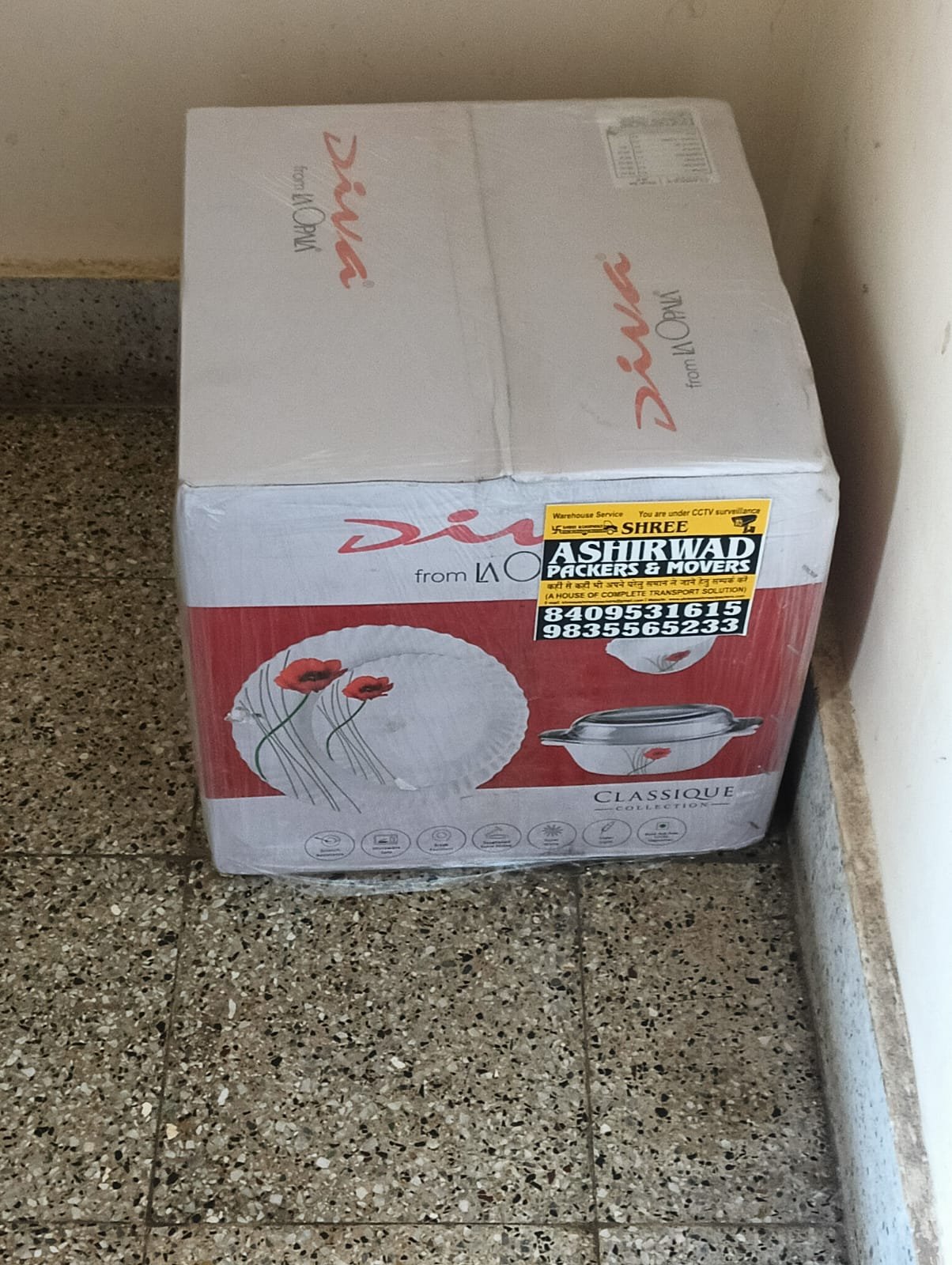
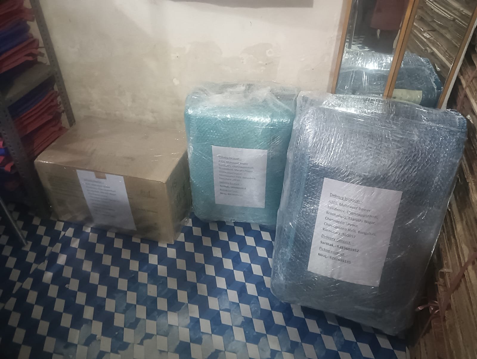
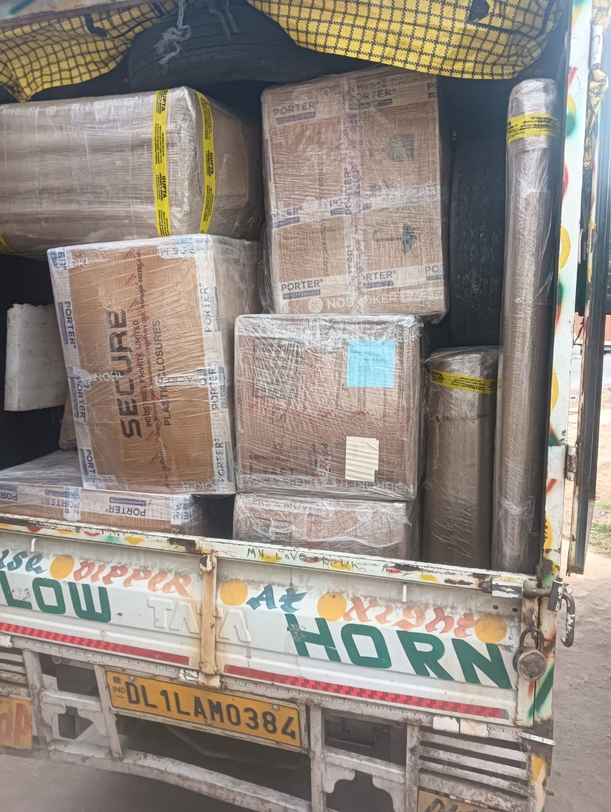
Shree Ashirwad Packers addresses these local conditions with specialized solutions. We implement an airtight 5-layer protective packing protocol that completely seals delicate electronics, home upholstery, and kitchenware against fine dust. Our company-owned closed container vehicles protect consignments during highway transit, while our logistics specialists manage all required inter-state transit documents and E-way bill compliances.
Strategic Profile of Shikaripara Block
- District: Dumka District, Jharkhand
- Administrative Unit: Community Development Block & Assembly Constituency
- Geographic Coordinates: 24.2380° N Latitude, 87.5250° E Longitude
- Postal PIN Code: 816103 (Shikaripara SO)
- National Highway: NH-114A (Dumka - Shikaripara - Rampurhat West Bengal)
- Railway Connectivity: Shikaripara Railway Station (SKIP) - Eastern Railway
- Distance to Dumka (HQ): ~28 km Northwest via NH-114A
- Distance to Rampurhat (WB): ~25 km Southeast via NH-114A
- Key Economic Sectors: Stone Aggregate Mining, Crushing, Interstate Trade & Agriculture
- Bordering Territories: Dumka, Raneshwar, Kathikund (Dumka), Birbhum (West Bengal)